We Love Phuket - by Jamie. Bits and Pieces of Phuket.
Little gems that don't quite fit on The Phuket Blog :)


More Satellite Views of Phuket

From Google Earth..

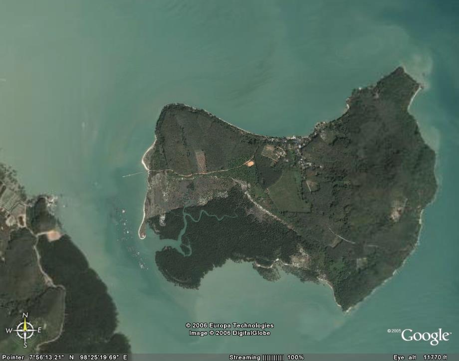
Boat Lagoon is on the east coast of Phuket. There is a lot of development there, and the image is probably a few years old. We like to go there sometimes to see the boats and splash out on a nice coffee and cake at the bakery...

Boat Lagoon on the East coast of Phuket

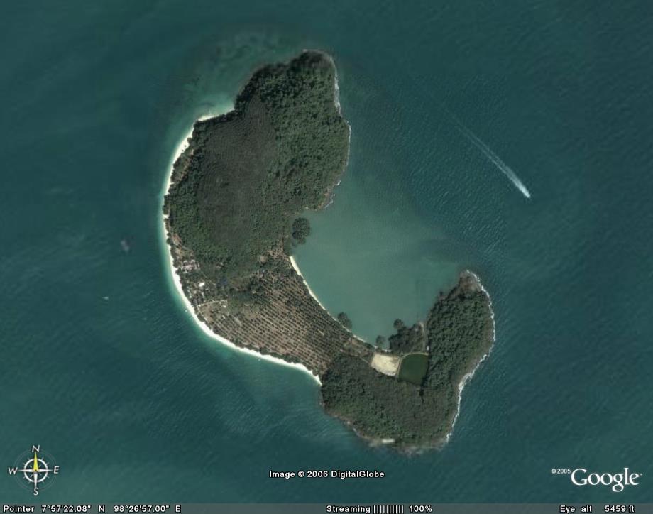
Panyee Village in Phang Nga Bay. The famous "floating village" is much bigger than most people think. Most tourists just stop here for lunch as part of a tour, but if you have the chance to walk around, you'll find it's a very interesting place...

Panyee (Panyi) Village, Phang Nga Bay


We Love Phuket - Hope to see you in Phuket soon!

More Satellite Views of Phuket

Explore Phuket - Lots of Phuket Information at  Jamie's Original Phuket Blog


Google Earth Phuket Update!

Is someone up there listening? As from now, a good part of the West coast of Phuket can be seen in high resolution too. The new image covers everything from Laem Singh beach (just North of Kamala) up to (almost) the Sarasin Bridge. Great! Picture below shows one of my favourite quiet beaches - Naithon.

Naithon Beach, Phuket on Google Earth

Hope the rest of Phuket appears soon!

(add) Just noticed lots of other changes - large parts of Phang Nga Bay, Koh Yao, and much more in the area in high res, too! Wow, this is nearly as exciting as the World Cup!


We Love Phuket - Hope to see you in Phuket soon!

Google Earth Phuket Update!

Explore Phuket - Lots of Phuket Information at  Jamie's Original Phuket Blog


Phuket on Google Earth

Phuket as seen on Google Earth - Koh Yao to the eastGet Google Earth (http://earth.google.com/) for a good look at Phuket. A large part of the island can be seen in high resolution. You can zoom in on Phuket Town, most of the east coast, small offshore islands, roads, houses... The highest resolution is enough to see boats and cars, though you can't read newspapers or see people's faces! The scan of Phuket appears to have been taken in about 2003, I await a new image eagerly! Some Google Earth images below of Phuket including Koh Sirey (east of Phuket Town), Chalong jetty, Bang Rong (in the mangroves on the east coast, you can get the ferry to Koh Yao from here), a couple of offshore islands; Koh Rang and Koh Maphrao, Cape Panwa (home of the Aquarium), Monkey Hill (in Phuket Town) and the Bang Wad reservoir and Dam - Phuket's largest water supply.

Images of Phuket from Google Earth

Mangroves at Bang Rong. Get the ferry from here to Koh Yao Bang Wad reservoir and Dam, Kathu, Phuket Cape Panwa, the SE corner of Phuket Chalong roads and the jetty Koh Maphrao, small island off the east coast near Laem Hin Koh Rang, small offshore island east of Phuket Koh Sirey (east of Phuket Town) Khao To Sae (Monkey Hill)

More Information about some of these places

• Cape Panwa
• Koh Yao
• Khao To Sae (Monkey Hill)
• Koh Rang

More about Phuket in Jamie's Phuket Blog


We Love Phuket - Hope to see you in Phuket soon!

Phuket on Google Earth

Explore Phuket - Lots of Phuket Information at  Jamie's Original Phuket Blog


What's New on Jamie's Phuket?

New Phuket posts are at Jamie's Phuket Blog (my original Phuket blog)


And get the latest Phuket Weather at:

The Phuket Weather Blog


We Love Phuket - Hope to see you in Phuket soon!

What's New on Jamie's Phuket?

Explore Phuket - Lots of Phuket Information at  Jamie's Original Phuket Blog