Google Earth - Phuket Images Updated!
Finally! Now the whole of Phuket can be seen in high resolution on Google Earth. The last section was the South West Coast, including Patong, Karon, Kata and Laem Phromthep. The islands of Racha Yai and Racha Noi are also high res now. I guess the images are not 100% up to date, but now you can fly over the west coast and the whole island! A few new images below.

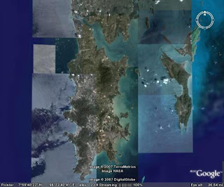
(above) Phuket and (to the east) Koh Yao Yai and Koh Yao Noi

(above) West Coast Beaches - Karon, Kata, Kata Noi

(above)Patong Beach

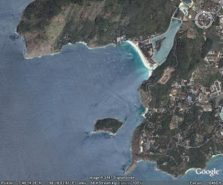
(above) Phromthep Cape and Naiharn Beach
We Love Phuket - Hope to see you in Phuket soon!
Google Earth - Phuket Images Updated!
Explore Phuket - Lots of Phuket Information at Jamie's Original Phuket Blog
